Make the code approachable
Publish a searchable digital zoning code that people can navigate and your team can maintain.
 Sign In
Request Demo
For planning, zoning & GIS teams
Make your zoning code easier to understand, your maps easier to explore and your team easier to reach for the questions that need their expertise.

Built for the people who shape their communities.
The opportunity
A zoning question should not start a search across disconnected PDFs, maps and spreadsheets. Bring the information together so residents can explore and staff can focus on the work that calls for judgment.
Publish a searchable digital zoning code that people can navigate and your team can maintain.
Connect zoning districts, GIS layers and three-dimensional development potential in one map.
Let residents and applicants look up parcel-specific zoning information before they call or visit.
Connected solutions
Use the tools together or start with the part of your public service that needs the most help.
CodeHUB
Make your zoning code searchable, navigable and easier to publish. Give staff and the public a shared reference point.
Explore CodeHUBMuniMap
Bring zoning, GIS and three-dimensional context together so people can understand how the rules relate to a place.
Explore MuniMapZoneCheck
Give the public a parcel-based starting point for zoning questions and a more informed conversation with your team.
Explore ZoneCheckWork in practice
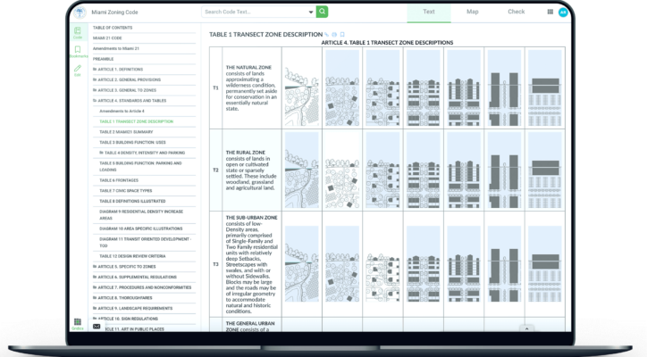
See how CodeHUB presents Miami’s zoning code as a digital resource that is easier to navigate and explore.
Explore the Miami case study“Their digital zoning platform has radically enhanced our public engagement.”
Your next step
Show us the questions your staff answers most and how the public finds information today.
Explore a workflow around your code, map data and public-facing zoning needs.
Discuss data preparation, publishing responsibilities and the next steps for your team.
Before we talk
Yes. CodeHUB, MuniMap and ZoneCheck address different parts of the zoning information experience. We can help your team assess a starting point and how the tools can work together.
We will focus on your municipality’s code, mapping and public service priorities, then discuss the data and implementation work a rollout would require.
The tools help people find and understand information. Municipal staff remain essential for interpretation, review and official determinations.
Let’s move it forward
Tell us where your team needs support. We will show you a municipal workflow built around that need.
Plan a municipal walkthroughA useful conversation starts with your community’s needs.